
Entrepreneurship in the territories: is it the right time?

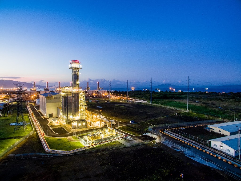
First Gen Corporation (First Gen) is the primary holding company for power generation and energy-related businesses of First Philippine Holdings Corporation (FPH).
First Gen wants you to be good at your job and be successful at it. To this end, we will invest in your professional and personal growth by providing you with the right tools to effectively carry out your role as well as learning and development opportunities to advance your career.
About the role:
As an engineering professional and under the direct supervision of an Engineering Manager, the Engineer is responsible for providing specialized to moderately complex engineering and technical services to internal and external customers within First Gen and its subsidiaries to support their current and future requirements and in order to uphold global standards and good utility practice.
Key Accountabilities:
Qualifications Requirements:
Skills:


Discover all the resources to inspire and guide you in the world of positive impact. Testimonials, analyses, job descriptions and skills of tomorrow, everything you always wanted to know without daring to ask.


You no longer thrive in your work, and you plan to change profession to find more meaning in your professional life? Discover the resources to help you think about a retraining project and find your way.